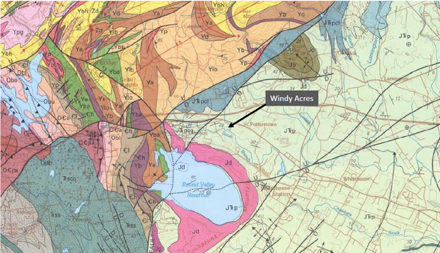
 Geology of Windy Acres

The rock formation that underlies Windy Acres (Passaic Formation) is associated with the Age of the Dinosaurs and the tectonic events that led to the birth of the Atlantic Ocean. Around 180 million years ago, the supercontinent Pangaea began to break into multiple tectonic plates. As the newly formed North American and African plates pulled away from each other, large valleys—including the Newark basin, the Connecticut River valley, and the Bay of Fundy region in Canada—formed. Similar valleys exist in northern Africa. Lake and river environments within the valleys created the sand, silt, and clay deposits that eventually became the sedimentary rocks seen in those regions today.
The Passaic Formation primarily consists of reddish-brown siltstones and shales that were deposited when the region lay near the equator. Their reddish color comes from iron minerals that were weathered when exposed to oxygen in the atmosphere. Similar sedimentary rocks to those that underlie Wind Acres are rich in dinosaur footprints, have been quarried for brownstones for use in the buildings of places like New York City, and were among the earliest evidence of continental drift. The neighboring Cushetunk Mountain, as well as the nearby Watchung Mountains, are the roots of volcanoes also formed as Pangaea broke apart. A modern equivalent to the setting is the East African Rift, which has lakes and volcanoes formed from the African tectonic plate pulling apart.